Embed Size (px)
Citation preview
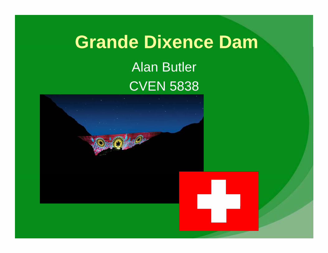
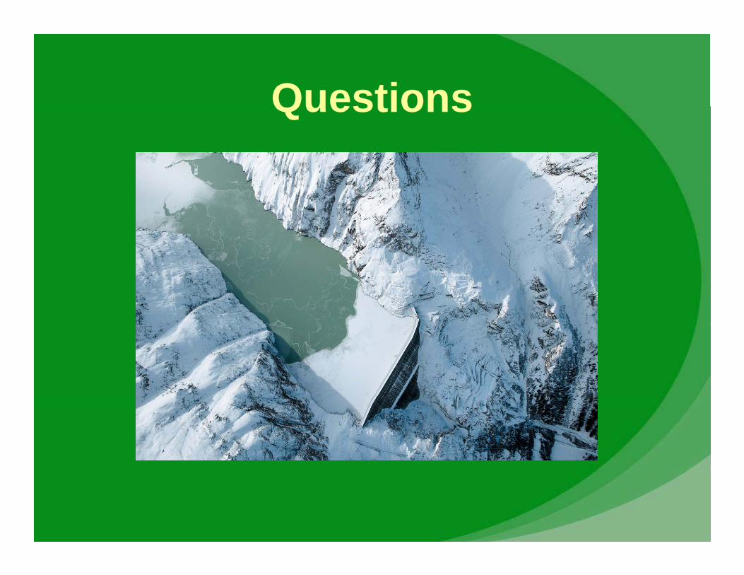
Grande Dixence DamGrande Dixence DamAlan ButlerCVEN 5838
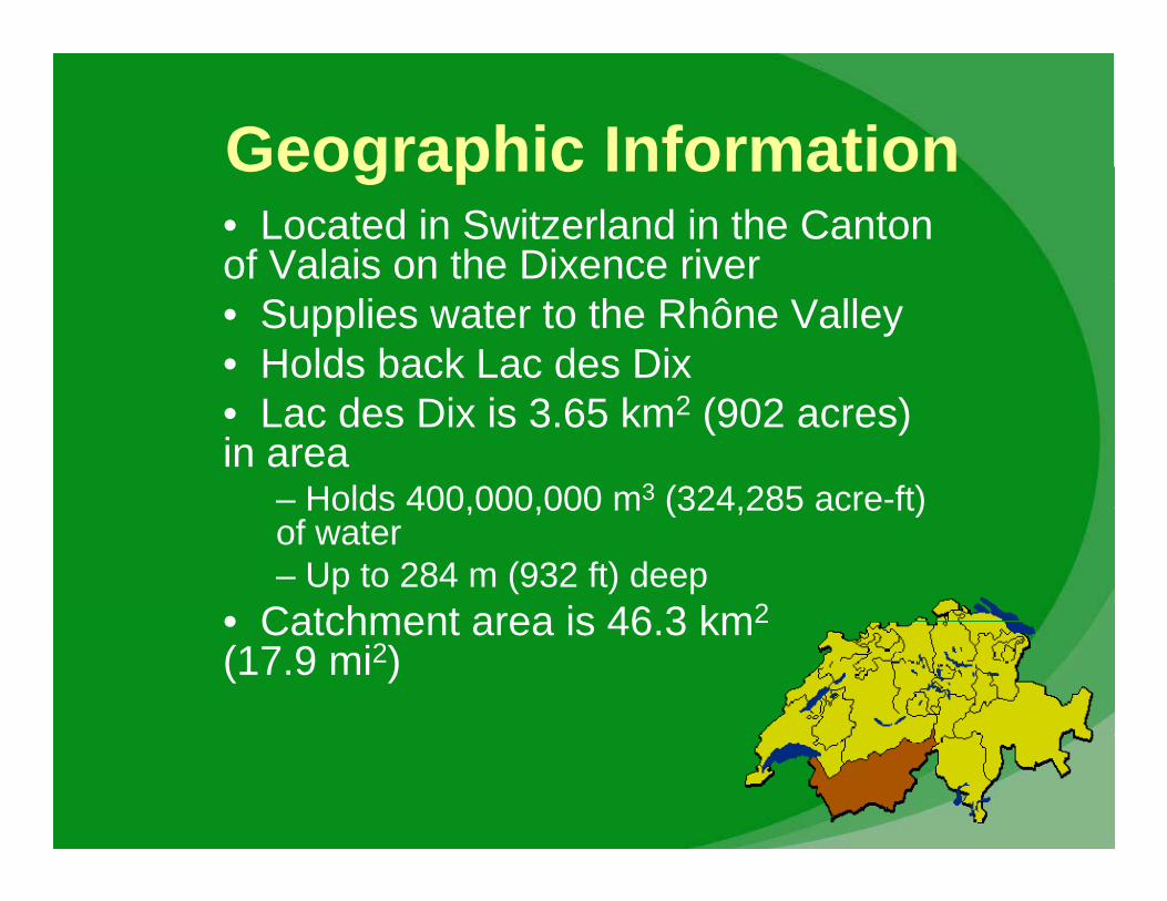
Geographic InformationGeographic Information• Located in Switzerland in the Canton of Valais on the Dixence river• Supplies water to the Rhône Valley• Holds back Lac des Dix• Lac des Dix is 3.65 km2 (902 acres) in area
– Holds 400,000,000 m3 (324,285 acre-ft)Holds 400,000,000 m (324,285 acre ft) of water – Up to 284 m (932 ft) deep
• Catchment area is 46 3 km2• Catchment area is 46.3 km2
(17.9 mi2)
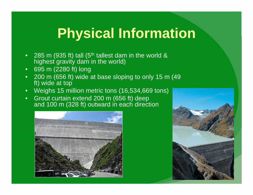
Physical InformationPhysical Information• 285 m (935 ft) tall (5th tallest dam in the world &
highest gravity dam in the world)highest gravity dam in the world)• 695 m (2280 ft) long• 200 m (656 ft) wide at base sloping to only 15 m (49
ft) wide at top) p• Weighs 15 million metric tons (16,534,669 tons)• Grout curtain extend 200 m (656 ft) deep
and 100 m (328 ft) outward in each direction
Dam ObjectivesDam Objectives• Built to produce hydropowerBuilt to produce hydropower
– Grande Dixence represents 1/5 of the storable energy produced in Switzerland
– Dam strives to: • Optimize water level so there is maximum availability before
heavy demand periodsheavy demand periods • Maximize profits by calculating the cost of pumping water in
the summer and income by generating energy during winter
N ti l• Now serves as recreation area also• Tourism around the dam is quite popular
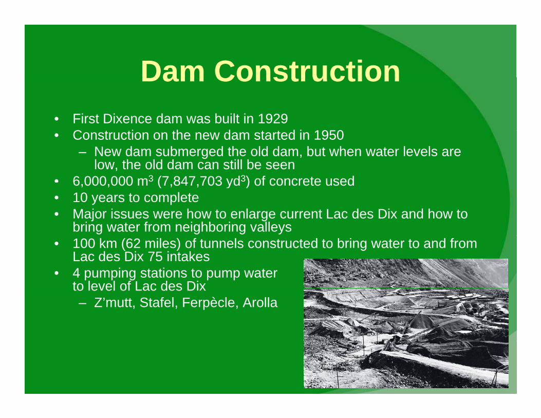
Dam ConstructionDam Construction• First Dixence dam was built in 1929
C i h d d i 1950• Construction on the new dam started in 1950– New dam submerged the old dam, but when water levels are
low, the old dam can still be seen• 6 000 000 m3 (7 847 703 yd3) of concrete used6,000,000 m (7,847,703 yd ) of concrete used• 10 years to complete• Major issues were how to enlarge current Lac des Dix and how to
bring water from neighboring valleys• 100 km (62 miles) of tunnels constructed to bring water to and from
Lac des Dix 75 intakes• 4 pumping stations to pump water
to level of Lac des Dixto level of Lac des Dix– Z’mutt, Stafel, Ferpècle, Arolla
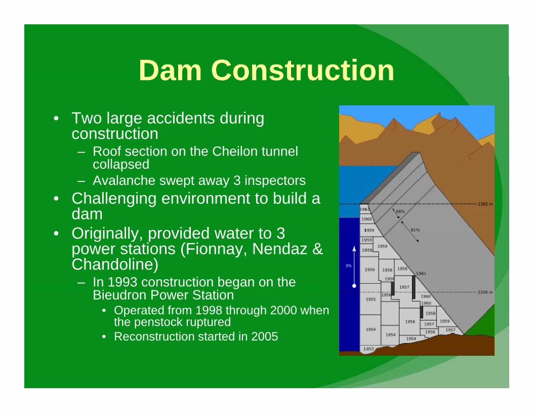
Dam ConstructionDam Construction• Two large accidents during
t ticonstruction– Roof section on the Cheilon tunnel
collapsedAvalanche swept away 3 inspectors– Avalanche swept away 3 inspectors
• Challenging environment to build a dam
• Originally provided water to 3• Originally, provided water to 3 power stations (Fionnay, Nendaz & Chandoline)– In 1993 construction began on theIn 1993 construction began on the
Bieudron Power Station• Operated from 1998 through 2000 when
the penstock ruptured• Reconstruction started in 2005• Reconstruction started in 2005
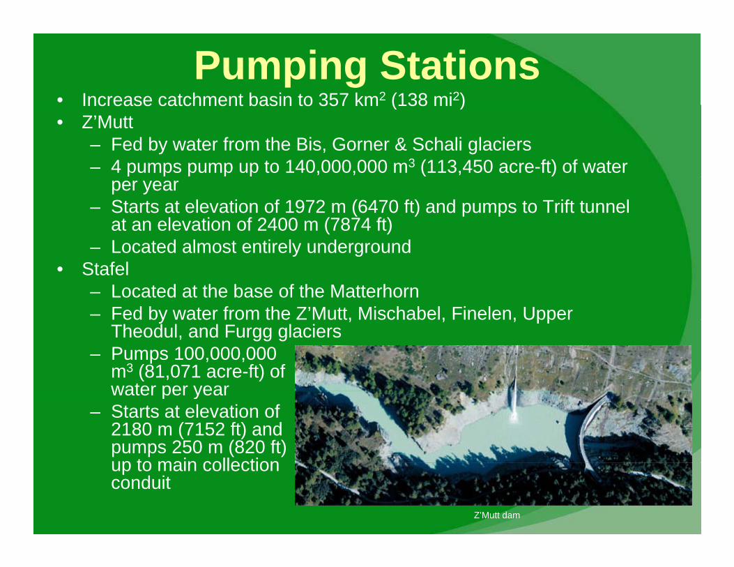
Pumping Stations• Increase catchment basin to 357 km2 (138 mi2)Increase catchment basin to 357 km (138 mi )• Z’Mutt
– Fed by water from the Bis, Gorner & Schali glaciers– 4 pumps pump up to 140,000,000 m3 (113,450 acre-ft) of water p p p p p ( )
per year– Starts at elevation of 1972 m (6470 ft) and pumps to Trift tunnel
at an elevation of 2400 m (7874 ft)– Located almost entirely underground– Located almost entirely underground
• Stafel– Located at the base of the Matterhorn– Fed by water from the Z’Mutt, Mischabel, Finelen, UpperFed by water from the Z Mutt, Mischabel, Finelen, Upper
Theodul, and Furgg glaciers– Pumps 100,000,000
m3 (81,071 acre-ft) of water per yearwater per year
– Starts at elevation of 2180 m (7152 ft) and pumps 250 m (820 ft) up to main collectionup to main collection conduit
Z’Mutt dam
Pumping StationsPumping Stations• Ferpèclep
– Fed by water from the Ferpècle glacier– 3 pumps pump 60,000,000 m3 (48,643 acre-ft) of water per year– Starts at elevation of 1896 m (6220 ft) and lifts water 212 m (696 ( ) (
ft) up to La Maya reservoir– Located inside mountain
• ArollaArolla– Fed by water from the Ferpècle pumping station and the
Tsidjiore Nouve and Bertold glaciers– 3 pumps pump 90,000,000 m3 (72,964 acre-ft) of water per yearp p p p , , ( , ) p y– Starts at elevation of 2009 m (6591 ft) and lifts water 312 m
(1024 ft) up to main collection conduit
Power Stations• Current total capacity of 800 MW
– Will be 2000 MW by 2010 and was 2000 MW during 1998-2000• Fionnay
– Underground pressurized tunnel 9 km (5.6 mi) long brings water from Lac des Dix
• Averages 10% slope• Averages 10% slope– Penstock descends 800 m (2625 ft) with a slope of 73% – Capacity of 290 MW– Located at an elevation of 1490 m (4888 ft)Located at an elevation of 1490 m (4888 ft)
• Nendaz– Water comes from the Fionnay power
station via 16 km (9.9 mi) long pressure tunnel– Surge chamber is 1000 m (3281 ft) above the
power station– 2nd largest hydroelectric power station in
Switzerland (Bieudron is #1)Switzerland (Bieudron is #1)– Capacity of 390 MW
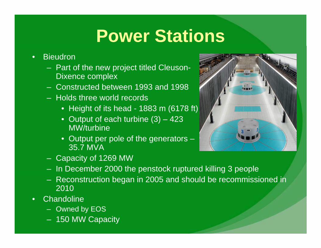
Power Stations• Bieudron
– Part of the new project titled Cleuson-Dixence complexDixence complex
– Constructed between 1993 and 1998– Holds three world records
• Height of its head 1883 m (6178 ft)• Height of its head - 1883 m (6178 ft)• Output of each turbine (3) – 423
MW/turbine• Output per pole of the generators –Output per pole of the generators
35.7 MVA– Capacity of 1269 MW– In December 2000 the penstock ruptured killing 3 peopleIn December 2000 the penstock ruptured killing 3 people– Reconstruction began in 2005 and should be recommissioned in
2010• Chandoline
– Owned by EOS– 150 MW Capacity
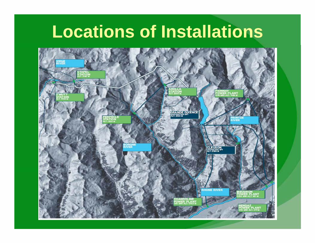
Locations of Installations
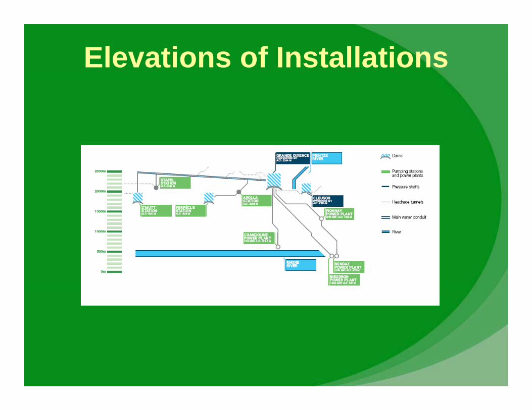
Elevations of Installations
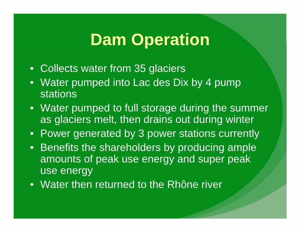
Dam OperationDam Operation• Collects water from 35 glaciersg• Water pumped into Lac des Dix by 4 pump
stations• Water pumped to full storage during the summer
as glaciers melt, then drains out during winterP t d b 3 t ti tl• Power generated by 3 power stations currently
• Benefits the shareholders by producing ample amounts of peak use energy and super peakamounts of peak use energy and super peak use energy
• Water then returned to the Rhône river
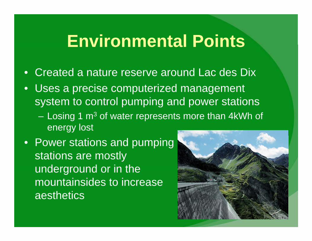
Environmental PointsEnvironmental Points• Created a nature reserve around Lac des DixCreated a nature reserve around Lac des Dix• Uses a precise computerized management
system to control pumping and power stationsy p p g p– Losing 1 m3 of water represents more than 4kWh of
energy lost• Power stations and pumping
stations are mostly d d i thunderground or in the
mountainsides to increase aestheticsaesthetics
OwnersOwners
• Total share capitol of $277 000 000 +Total share capitol of $277,000,000 +• Owned by 4 partner companies
60% b E i Q t S i (EOS)– 60% by Energie Quest Suisse (EOS)– 13 1/3% by Kanton Basel-Stadt , BKW FMB
Betwiliqunqen AG andBetwiliqunqen AG, and Nordostschweizerische Kraftwerke (NOK)
QuestionsQuestions